 Translate
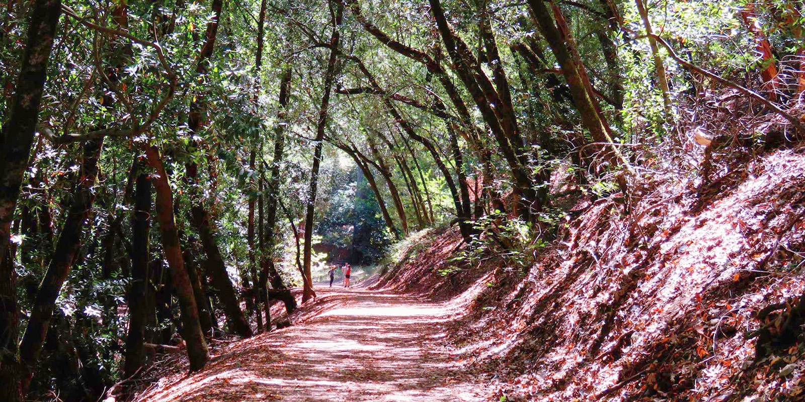
Three hikes on North Sonoma Mountain
Rising to 2,300 feet, Sonoma Mountain is a landmark of central and southern Sonoma County, visible for miles around the Santa Rosa Plain and Sonoma Valley. North Sonoma Mountain Regional Park and Open Space Preserve gives hikers access to the mountain's north face, with trail options include a standout section of the Bay Area Ridge Trail, which connects to Jack London State Historic Park, and two shorter routes with equally stunning views of Wine Country peaks and valleys.
Vista Trail

This short, easy walk begins in the parking area on the North Sonoma Mountain Ridge Trail.
- Follow the trail through a tunnel of fragrant California bay laurel trees to a footbridge and picnic site on the south fork of Matanzas Creek. On a summer day, this is a refreshing place to rest in the shade or explore along the creek.
- Take the signed Vista Trail to the right, where you will climb a short distance through a grove of stately coast redwoods. These redwoods are among some of the furthest east in Sonoma County, as they normally prefer cooler, foggier microclimates.
- You’ll emerge from the woodland at the top of the hill and meet the Umbrella Tree Trail, where you’ll turn right. There is a knoll immediately to your right with a bench and views of Bennett Valley, Bennett Mountain, and surrounding peaks. Enjoy the view, and then continue downhill, behind the ranger residence, and back to the parking lot.
- This walk is just .6 miles round trip and can be completed in 30 minutes or more.
- Accessibility: The vista point is also wheelchair accessible by driving from the main parking area to an ADA parking space near the bench.
Umbrella Tree Trail

- The Umbrella Tree Trail offers a short yet moderately strenuous hike to a large bay tree cluster with a single, umbrella-like canopy. The Umbrella Tree is a worthy destination in its own right, but the other reason to make this hike is the view. At an elevation of about 1,500 feet, you’ll see a considerable portion of Sonoma County, the peaks of Napa and Mendocino counties, and on a clear day, you may even glimpse the Pacific Ocean.
- From the parking area, take the gravel road signed Umbrella Tree Trail above the ranger residence and follow this path uphill. On your left, you’ll pass a short spur trail, the Vista Trail, and a bench as well as a trail down to the Woodland Picnic Area.

- Continue up the hill to the right for about a mile until you reach the Umbrella Tree and a single picnic table. While not long, the walk is fairly steep, with a 505-foot elevation gain. Bring a picnic and take some time to appreciate the expansive scene. When you’re ready, retrace your route back to the parking area.
- This hike is about 2 miles round trip and will take an hour or more.
Ridge Trail hike to the summit at Jack London Park

Zig-zagging up the north face of the mountain, the North Sonoma Mountain Ridge Trail is a section of the larger Bay Area Ridge Trail network and connects to Jack London State Historic Park. It’s a moderately challenging hike with 14 switchbacks and only a few levels or downhill breaks, but the grade isn’t overly steep due to the artisan-quality trail design. This route is 9 miles round-trip with a 2,700-foot elevation gain and will take about 4.5 hours or more.
- Begin in the parking area near the restroom and information kiosk. After walking through the tunnel of bay trees, just past the junction with the Vista Trail and Umbrella Tree Trail, you will arrive at a few picnic tables under towering redwoods and the footbridge at the south fork of Matanzas Creek.
- Cross the bridge and follow the trail across a meadow. You’ll come to a bench where you can get a taste of the vineyard and valley views that await you further up the mountain. As the trail climbs, you will mostly hike in the shade of oak and bay trees, making this a great trail option even on warm days.
- At about 2 miles, you’ll reach the Bennett Valley Overlook spur trail, which makes for a scenic resting point. The North Sonoma Ridge Mountain Trail continues beyond for another 1.7 miles to Jack London State Historic Park and extensive trail network.
- Once you cross into Jack London, you’ll be rounding the bend onto the eastern flank of the mountain and the views will begin to open up toward lower Sonoma Valley, Napa Valley, and even across San Pablo Bay to Mount Diablo. Continue for about a half-mile to the Hayfields Trail, where you’ll turn right and travel .2 miles.
- When you reach the Mountain Trail intersection, turn right and leave the Ridge Trail. The Mountain Trail climbs up and then turns into the Mountain Spur Trail and finally reaches the Jack London Park Summit at 2,370 feet. Soak in the well-earned views, and then retrace your route back to the trailhead.
Know before you go
- For driving directions and more park details, visit the North Sonoma Mountain Regional Park and Preserve webpage.
- The park does not have drinking water, so please carry enough for everyone in your group.
- Dogs are not allowed on trails.
- Parking is $7 or free for Regional Parks members.