 Translate
Wright Hill Regional Park & Open Space Preserve - Background
Project Background
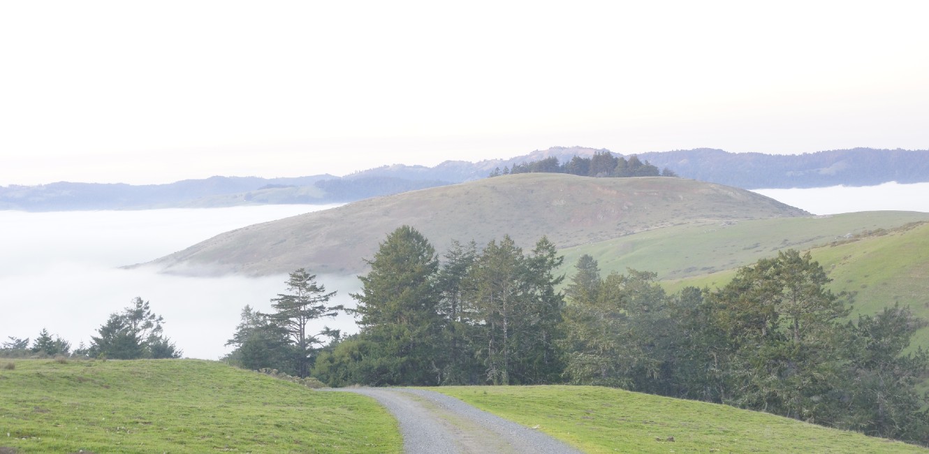
Wright Hill Ranch was once the largest private coastal land holding between Jenner and Bodega Bay. The property includes Furlong Gulch and Rough Creek, two steep forested gulches that ascend from 440 feet in the Rough Creek drainage to 1,190 feet at the top of Wright Hill near the property’s center. In addition to providing wildlife habitat and recreation opportunities for people, its sweeping views contribute significantly to Sonoma County’s scenic coastal beauty.
In 2021, Ag + Open Space transferred the land to Sonoma County Regional Parks, to one day become a public regional park and open space preserve. Ag + Open Space developed a Resource Management Plan (2017) and retain a Conservation Easement and Recreation Covenant, which guide current land management activities in the park.
Resources Management PlanIn 2017, Ag + Open Space adopted the Wright Hill Ranch Open Space Preserve Resource Management Plan (RMP), which provides a comprehensive assessment of existing natural and cultural resources, identifies special-status species in need of protection, presents management strategies for protecting and enhancing resources, and provides preliminary planning for future development of public access infrastructure while minimizing impacts to resources. The RMP is the guiding document for land and resource management activities and will be used to inform and guide recreation during the master plan process.
Conservation EasementA conservation easement is retained by Ag + Open Space, guiding potential property use and activities. The conservation easement specifies that the property will be used for:
- natural resource preservation and restoration,
- recreation and education, and
- limited agricultural use – primarily livestock grazing
The conservation easement limits and defines possible development for recreation, including the necessary approvals for creating a master plan.
Recreation CovenantAdditionally, Ag + Open Space retains a recreation covenant that assures the property will be used, maintained and operated as a public park and open space preserve in perpetuity.
Supporting Documents
- Wright Hill Open Space Preserve Resource Management Plan (PDF: 12.9 MB)
- Conservation Easement (PDF: 2.32 MB)
- Recreation Covenant (PDF: 3.07 MB)
Project Funding
In 2007 Ag + Open Space acquired the land with additional funding from the California State Coastal Conservancy.
Ag + Open Space provides funding for initial public access “Park Preview” days, beginning management of natural resources and existing facilities, and development of the Park Master Plan and CEQA studies.
Regional Parks Measure M funds and Park Mitigation Fees will also be used to augment funding for master plan development, land management activities, and natural and cultural resource protection.