Riverside meander on the Makahmo Trail in Cloverdale
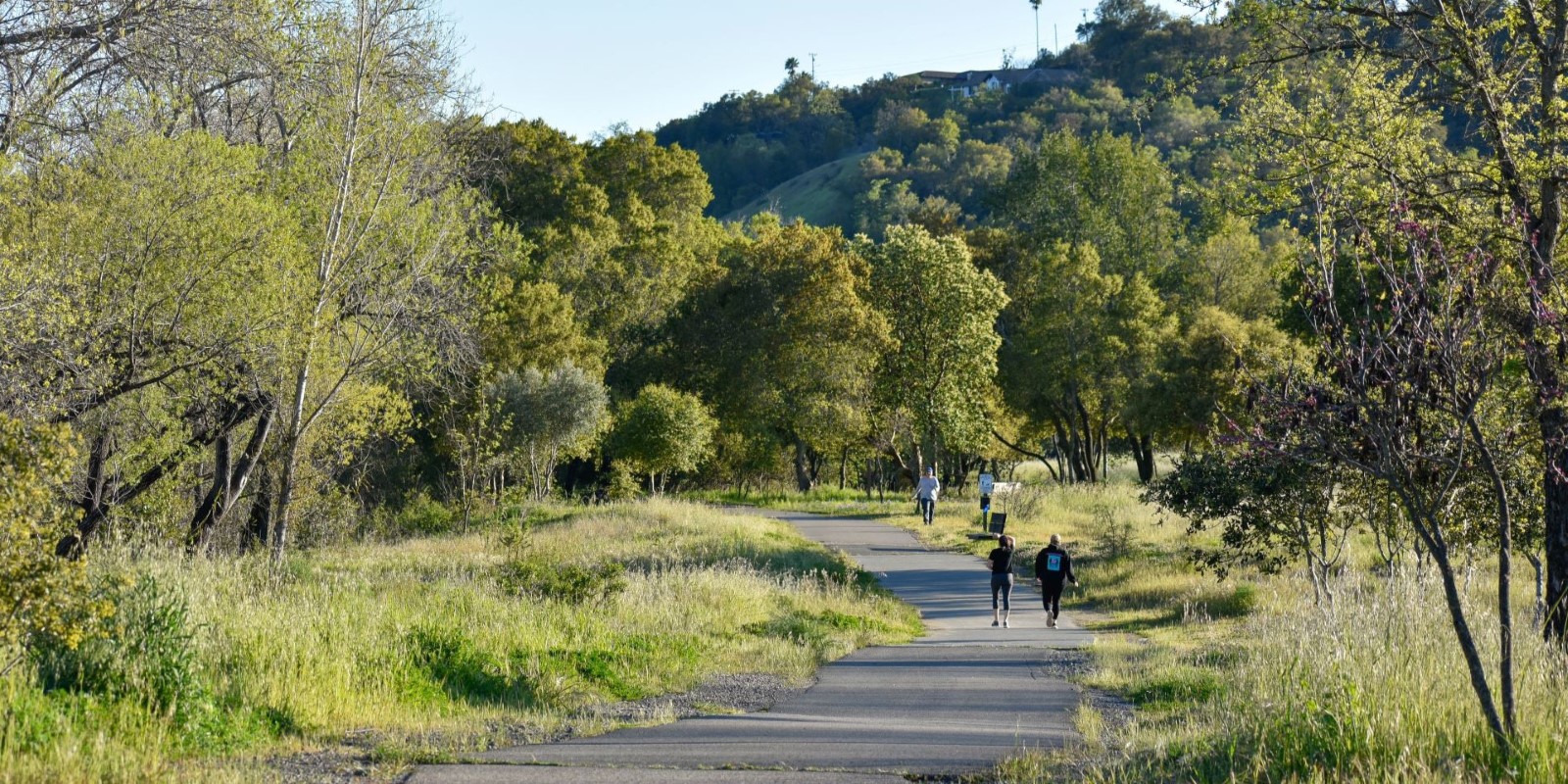
Cloverdale River Park runs along the west bank of the Russian River in northern Sonoma County and is a beautiful spot for birding and wildlife viewing, especially when the hillsides are green and wildflowers are blooming. The park’s main trail, the Makahmo Trail, follows the river between McCray Road and First Street, surrounded by cottonwood, walnut and buckeye trees and features views of the forested hillsides and Mayacamas Mountains. The 1-mile trail is paved, relatively flat and stroller and wheelchair accessible, although there are a few spur trails that lead down to the water’s edge that are not accessible. The park also features ADA accessible parking, a restroom, picnic sites and path of travel.
We recommend starting and ending your trail adventure from the park’s main parking lot on McCray Road, making for an approximately 2-mile round-trip out-and-back adventure. Pack a picnic lunch and enjoy a creek or riverside picnic at one of the park’s several picnic tables afterwards. Note that there are no drinking fountains at this park, so be sure to bring your own water. Leashed dogs are welcome on the multi-use trail. Please be considerate of others by picking up your pet’s waste and disposing of it in a trash can.

Trail directions
Suggested trail: Makahmo Trail
Note: You can use the interactive map above for reference, or you can download this route to your mobile device via the AllTrails app and follow the route even without cell service.
- Begin at the trailhead near the parking lot at the end of McCray Road.
- You will pass through a scenic meadow with a series of well-placed benches and eventually a picnic area, all of which provide pleasant places to pause along your excursion. You’ll also find a few short spur trails down to the river.
- You will then come to a footbridge over seasonal Oat Valley Creek.
- Your next landmark will be the city of Cloverdale facilities buildings on your right. After passing these, you will find a wide gravel bank by the river just before the Crocker Road bridge. Explore this area down to the river’s edge. There is no lifeguard on duty, so enter the river at your own risk.
- When ready, return the way you came.
Trail details
- Degree of difficulty: Easy
- Elevation gain: Flat (26 ft)
- Trail length: 2.4 miles round trip

Know before you go
- Parking fee required, or free for Regional Parks members.
- No equestrian parking available.
- While there are restrooms available, there’s no drinking fountain, so be sure to bring your own water.
- The park also offers a non-motorized boat launch for hand launching of kayaks, canoes and drift boats and river access for fishing.
- For driving directions and more park details, visit the Cloverdale River Park webpage.
Published February 2025
 Translate