Wright Hill Regional Park & Open Space Preserve

What & Why?
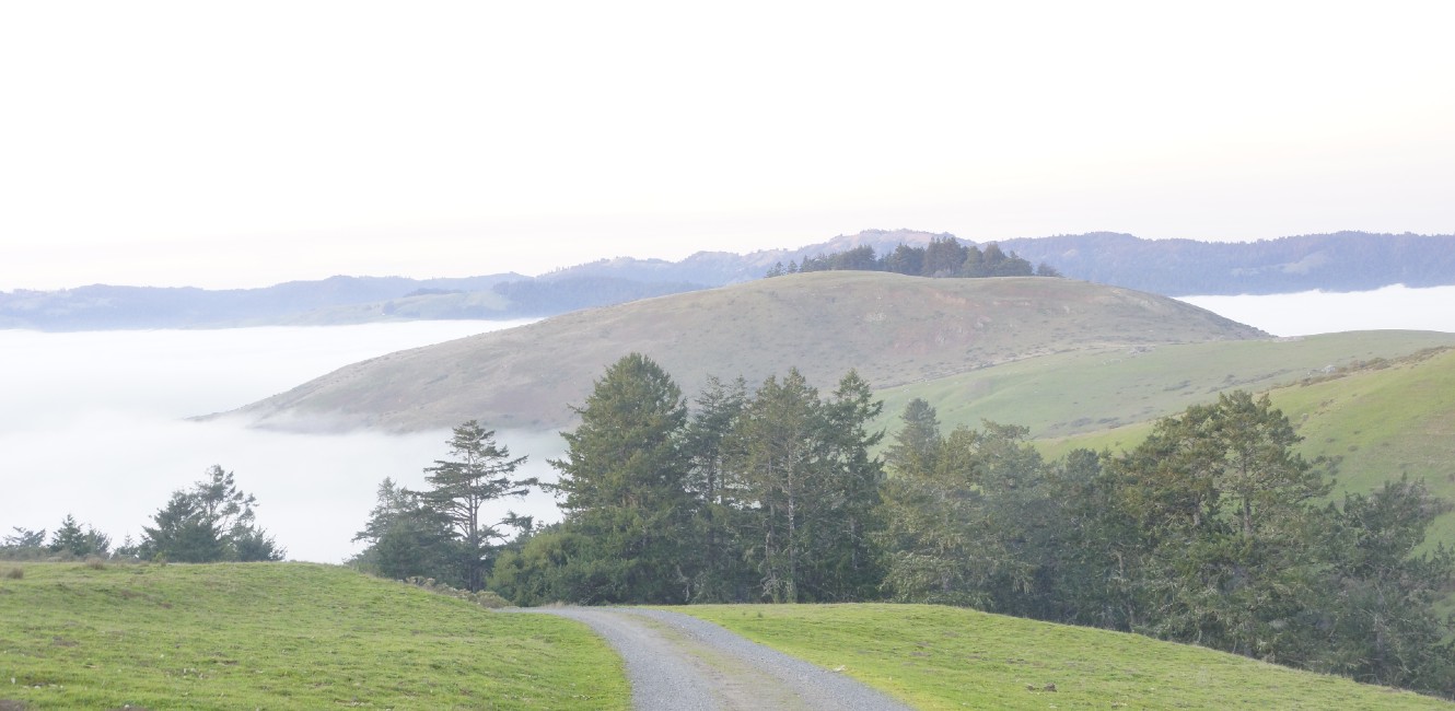
The Sonoma County Regional Parks Department (Regional Parks) is planning for the opening of a coastal ridge park. The future Wright Hill Regional Park and Open Space Preserve (Park & Preserve) is located three miles southeast of the town of Jenner, running along the coastal ridges adjacent to thousands of acres of Sonoma Coast State Park. The 1,236-acre park offers spectacular ocean and coastal mountain views, a historic ranch, and diverse wildland habitat to explore. Regional Parks recognizes that the Park & Preserve is on the ancestral lands of the Southern Pomo and Coast Miwok who are the original caretakers of this area. We respectfully acknowledge the Indigenous peoples who have been stewarding and maintaining relationships on this land as knowledge keepers for millennia.
Wildlife and habitat are diverse on the property and the landscape includes coastal prairie, a redwood grove, and forest of mixed tree types. Filling a critical gap in public access land between Bodega Bay, the Jenner Headlands, Monte Rio and Shell Beach, Wright Hill Regional Park & Open Space Preserve helps to further complete a larger network of intact wildlife corridor and recreation trails on the Sonoma Coast.
In 2007, the Sonoma County Agricultural Preservation and Open Space District (Ag + Open Space) acquired the land with support from the State Coastal Conservancy. Title was transferred to Regional Parks in August 2021, protecting key wildlife and recreational connectivity in the area. Keeping Wright Hill free from commercial development also helps preserve the panoramic views of the coastal hills from the community of Jenner on Highway 1, from which the park land is visible.
What's Next?
Work on the property has begun removing debris and invasive species, trimming vegetation around ranch buildings, addressing historic building deterioration; trail work to convert some ranch roads to trails; repairs to fencing, gates; installation of signage and benches; and habitat protection and restoration.
Regional Parks, with funding support from Ag + Open Space, will host a series of self-guided “park preview” outings so the public can enjoy the preserve as Regional Parks plans for full public access, a process which typically takes three to five years. The project timeline can be viewed on the Project Detail page.
Before the Park can open for regular public access, Regional Parks must complete a master plan to guide the development of trails, recreational and educational uses and stewardship of the natural resources. The Park Master Plan and associated California Environmental Quality Act (CEQA) studies are the governing documents required to make significant recreational improvements to the property. The process includes extensive public outreach and community engagement.
A survey was distributed to gather information from the public on the types of facilities that should be considered through the process. To learn more about the property, visit the master plan project website.


 Translate