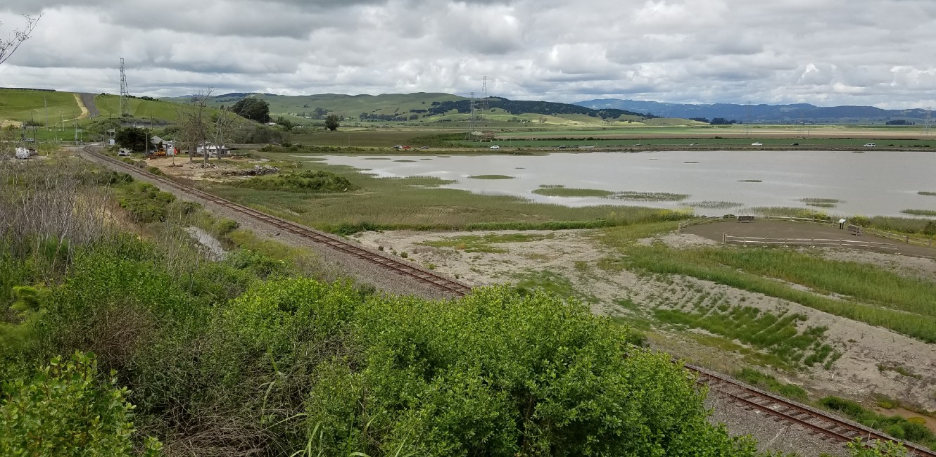
Sears Point Connector Trail - Project Detail

The feasibility study recommended near-term and long-term improvements to close the 0.8 mile trail gap between the Eliot Trailhead and Tolay Creek Trailhead.
The near-term improvements could include a combination of the following designs:
- a separated paved trail located on top of an elevated buttress fill adjacent and parallel to Highway 37
- a 12 feet wide prefabricated fiberglass boardwalk set on helical piers with a deck elevation between 14 and 16 feet, and
- a 10 feet wide floating aluminum boardwalk that would rise and drop with the incoming and outgoing tide.
The long-term improvements could include:
- a 12 feet wide prefabricated fiberglass boardwalk set on helical piers in addition to a 12 feet wide Class I bike path with a physical barrier to separate pedestrian/bicycle and vehicle traffic on the elevated highway (causeway) on piers and
- a 10 feet wide floating aluminum boardwalk in addition to a 12 feet wide Class I bike path with a physical barrier to separate pedestrian/bicycle and vehicle traffic on the four lane elevated road.
Illustrations of the near and long term improvements are shown in the feasibility study. Furthermore, a trail head parking lot to improve public access is proposed near the southeast corner where Highway 37 and train tracks intersect.


 Translate