Bellevue Creek Trail - Project Detail
Description of Trail Phases
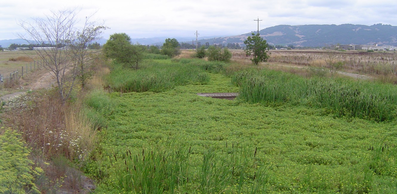
The 4.74 mile-long Bellevue Creek Trail project will be completed in 3 phases. The trail will include an 8-foot wide paved pathway with gravel shoulders, trailheads, and a pedestrian/bicycle bridge. The pedestrian/bicycle bridge is needed to cross Highway 101 which requires Caltrans approval.
- Phase 1: This 2 mile trail segment starts at the intersection of Stony Point Road and continues eastward to the planned SMART Trail and commuter rail. The estimated cost for this trail segment is $1,300,000. The project is located in County Supervisorial District 2.
- Phase 2: The 2.5 mile trail segment starts at the intersection of Robert Lakes Road and ends at Petaluma Hill Road. The estimated cost is $1,000,000. The project is located in County Supervisorial District 3.
- Phase 3: This 0.24 mile trail segment includes a pedestrian/bicycle bridge that crosses Highway 101 and would connect the SMART Trail to Robert Lakes Road. The estimated cost is over $1,000,000. The project is located in County Supervisorial Districts 2 and 3. A feasibility study may be needed to determine the trail alignment and interface with SMART property and Highway 101.
Regional Parks has partnered with Sonoma County Water Agency (SCWA) and Sonoma County Agricultural Preservation and Open Space District (SCAPOSD) in the past to develop similar trail projects such as the Santa Rosa Creek Trail. An easement will be obtained from SCWA and SCAPOSD to develop, operate, and maintain the trail.
For more information, you may contact Ken Tam, Park Planner at (707) 565-3348 or ken.tam@sonomacounty.gov.
 Translate