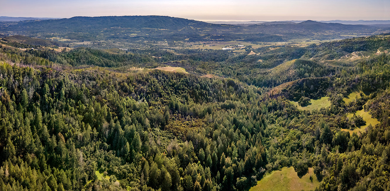
Calabazas Creek Regional Park and Open Space Preserve

What & Why?
The future Calabazas Creek Regional Park and Open Space Preserve, a stunning property in the Mayacamas Mountain Range, was transferred to Sonoma County Regional Parks in July 2021 by the Sonoma County Agricultural Preservation and Open Space District (Ag + Open Space), who owned and managed the 1,290-acre property. The property, located at Nuns Canyon Road in Glen Ellen, provides opportunity for public recreation in wildlands that support a diversity of ecosystems, from creeks and riparian corridors near the Sonoma Valley floor to forested mountain ridge tops. At around 2,000 feet, the mountain ridge tops provide a dramatic backdrop to the Highway 12 designated scenic corridor south of Hood Mountain Regional Park and Preserve and Sugarloaf Ridge State Park.
Regional Parks recognizes that the Park & Preserve is on or near the ancestral lands of the Southern Pomo, Wappo, and Coast Miwok who are the original caretakers of this area. We respectfully acknowledge the Indigenous peoples who have been stewarding and maintaining relationships on this land as knowledge keepers for millennia.
The property supports important wildlife species such as peregrine falcons and Northern spotted owls. Calabazas Creek, running through the property, supports special-status and endangered species such as steelhead trout, foothill yellow-legged frog, and California giant salamander. The preserved lands, adding acreage to the Sonoma Valley Wildlife Corridor, support increased wildland protection for wildlife migration and adaption in the face of rising sea levels, warming temperatures, and environmental changes.
Regional Parks, with support from Ag + Open Space, provides an opportunity for the community to learn more about Calabazas Creek Regional Park and Open Space Preserve through park preview days and guided hikes.
What's Next?
The Planning Division has contracted with Questa Engineering to assist our department in the master planning process. This includes preparing resource studies, developing a website, engaging the public in the visioning for the property, developing design alternatives, resource management planning, and preparing the appropriate environmental document to address and mitigate potential impacts.
We have prepared a survey to gather information from the public on the types of facilities that should be considered in the process, as well as demographic information and possible visitor use data to guide the process. This will be primarily a web-based program. For those wishing to participate in the process and complete the survey or learn more about the property, please visit the project website at: https://calabazascreekparkandpreserve.org/
Resources
Project Location Map
Download the Map
(PDF: 2.7 MB)
Upcoming events at Calabazas Creek
No Upcoming Events...


 Translate