Healdsburg Veterans Memorial Beach Renovation - Background
Project Funding
The Master Plan project is funded with contributions from the City of Healdsburg, the Sonoma County Advertising Fund, Park Mitigation Fees, Measure M, and State Parks Proposition 68 Per Capita grant funds.
Historic Information
Healdsburg Veteran’s Memorial Beach (HVMB) has been used by visitors and residents for community events and access to the Russian River for over a century. The historic bridge along the northeast corner of the property is near the location where settlers created a ford crossing in the 1850’s to cross the river during times of low flow. The bridge was originally built in 1921 and is listed on the National Register of Historic Places. It has been renovated to meet seismic standards and restore many of the original features.
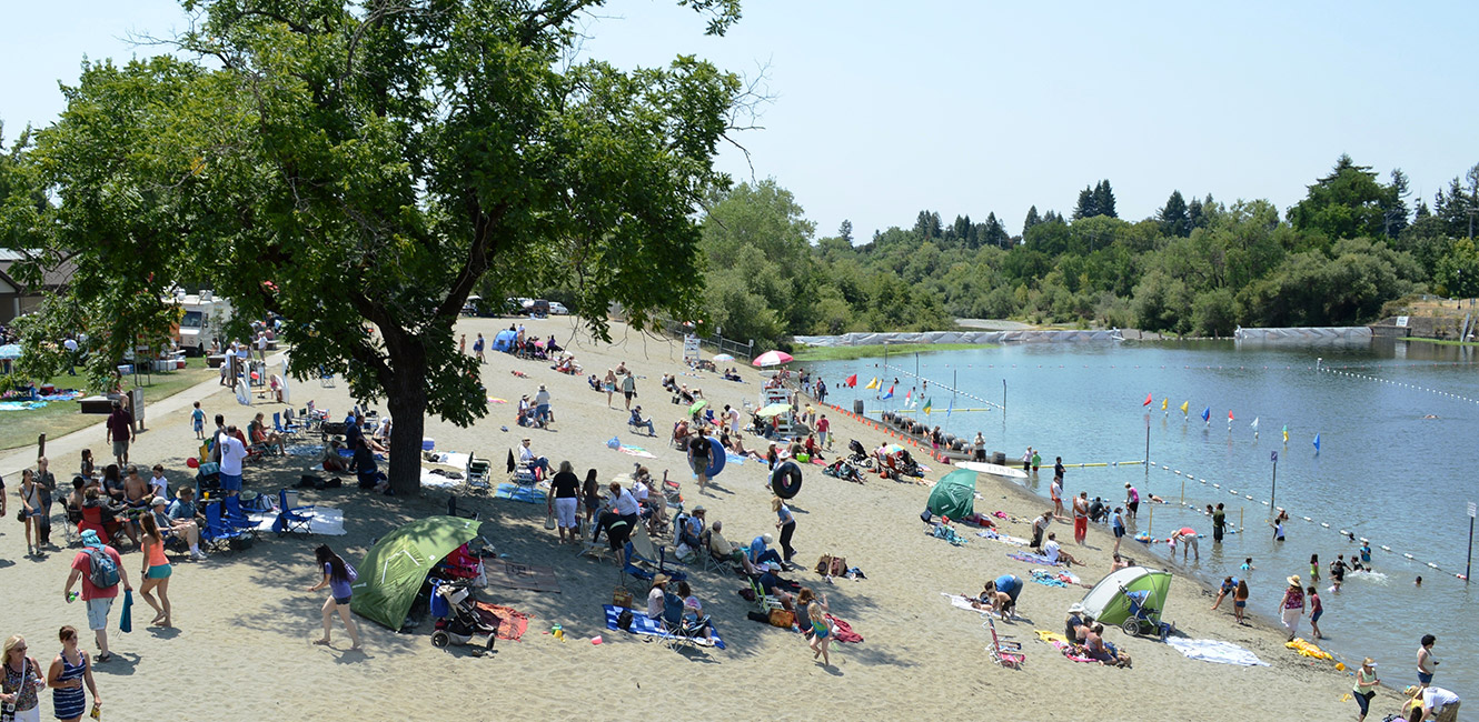
As early as 1905, log and earthen dams were constructed at this location on the Russian River to create a swimming and boating area for public use. In 1955, Sonoma County began installing a seasonal summer dam using post-World War II funds budgeted for the construction of Veteran’s buildings and facilities. In 1957, the California State Water Rights Board issued a water rights license to the County of Sonoma to install the dam and impound water for recreational uses along the Russian River.

Background
Sonoma County acquired a total of 5 parcels, totaling 11.53 acres, from 1948 to 1964 to create the park. Two of these parcels extend into the Russian River, which affects how much land available for public use, especially when the dam is installed. The majority of the upland park area is above the 100-year flood plain.

 Translate