Sonoma Valley Trail - Project Detail
Project Description
The completed trail feasibility study identified a preferred trail alignment along the Highway 12 corridor starting at Santa Rosa city limits and ending at Agua Caliente Road in the Springs area. The study also recommended prioritizing different phases of trail development based on relative complexity of the trail segment, difficulty of environmental and permitting issues, challenges with right of way acquisition, project partnerships, funding opportunities, and public need.
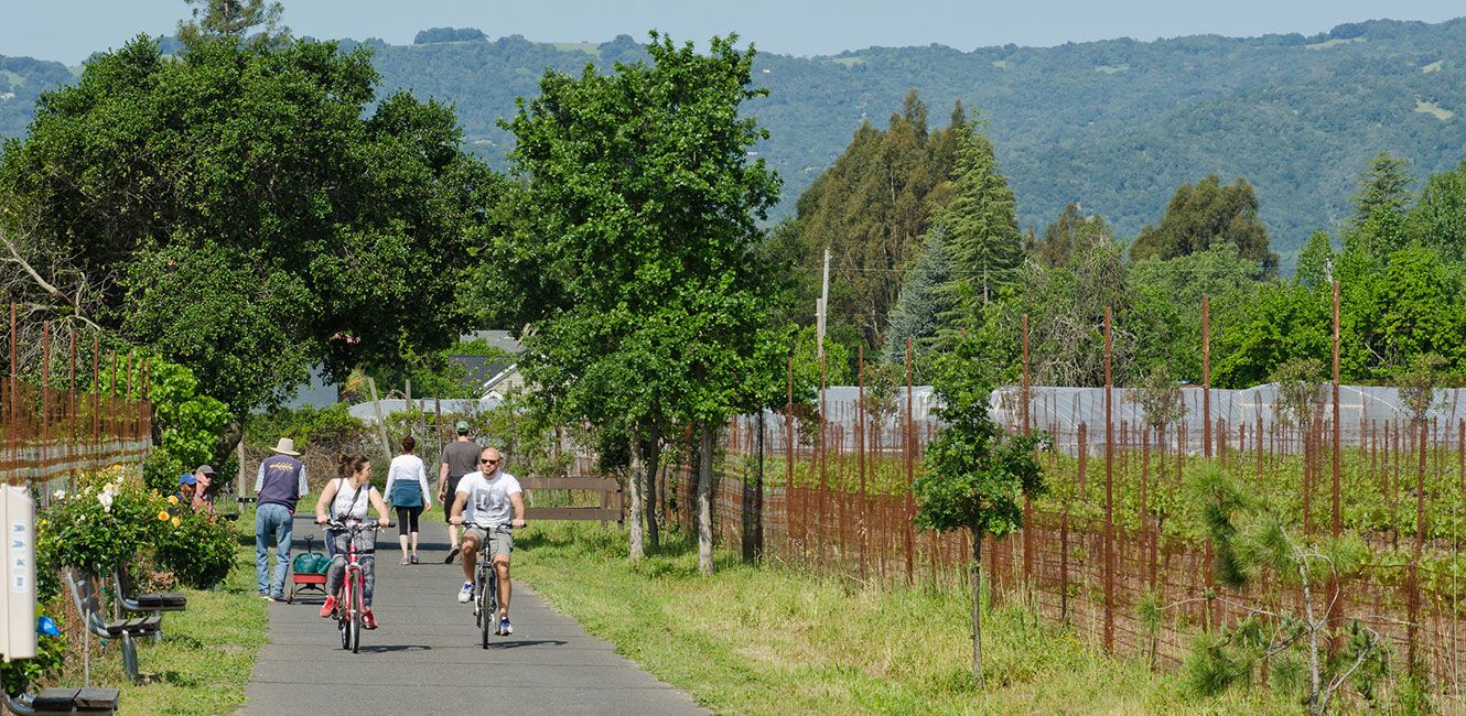
Generally the trail design would include an 8-feet wide paved trail with two 2-foot gravel shoulders on one side of the highway for the entire project length except for the Kenwood area. In Kenwood, the trail alignment switches back and forth between the west and east sides of Highway 12 because of limited public road right of way and because there are opportunities to locate the trail on public land such as Los Guilicos and Sonoma Valley Regional Park. The 8-feet trail width allows for two-way bicycle and pedestrian traffic. Based on the existing site conditions and number of local businesses adjacent to Highway 12 in the Kenwood area, it is recommended to provide a reduced trail width on both sides of Highway 12 to accommodate the existing pedestrian and bicycle use pattern.
Ideally the trail would be setback from the road as far as possible within the public road right of way. The trail would have a 5 to 7 feet separation from the road shoulder. The separation could include a landscaped buffer strip. In locations where space is limited due to insufficient public right of way or environmental constraints, the trail separation could include a physical barrier such as a guardrail.
Study Recommendations
The feasibility study recommendations are summarized as follows:
Phase 1 Priority Projects
Santa Rosa to Oakmont Drive
Agua Caliente Road to Sonoma Valley Regional Park
Phase 2 Priority Projects
Oakmont Drive to Pythian Road
Pythian Road to Kenwood
Sonoma Valley Regional Park to Kenwood
Recommended Trail Locations:
Los Alamos Road to Oakmont Drive (west side of Highway 12)
Oakmont Drive to Randolph Avenue (east side of Highway 12)
Randolph Avenue to Warm Springs Road (modified improvements on both sides of Highway 12)
Warm Springs Road to Arnold Drive (east side of Highway 12)
Arnold Drive to Agua Caliente Road (west side of Highway 12)
Recommended Pedestrian and Bicycle Crossing Locations:
Oakmont Drive (existing signalized crosswalk)
Randolph Avenue (proposed new crossing)
Warm Springs Road (existing signalized crosswalk)
Arnold Drive (existing signalization needs to be modified for use by pedestrians and bicyclists)
 Translate