Copeland Creek Trail - Project Detail

Project Detail
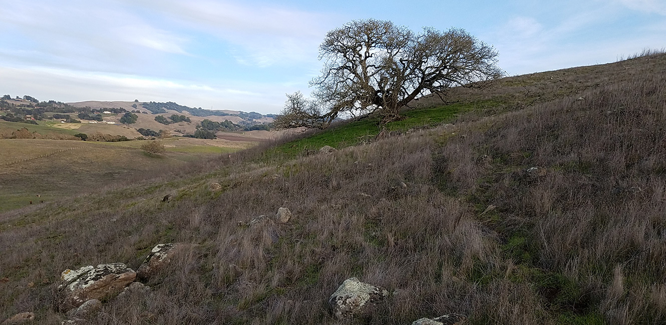
The proposed Copeland Creek Trail alignment will be located on University District LLC's property that was acquired into public ownership by the City of Rohnert Park. The publicly owned land is 128-acres and will be subdivided into two lots.
The City of Rohnert Park will own 56-acres of land adjacent to Petaluma Hill Road and will transfer ownership of the remaining 72-acres to the County of Sonoma to be added to the existing Crane Creek Regional Park. The 56-acre property is identified as the Crane Creek Trail Connection and the 72-acre property is identified as the Crane Creek Regional Park Expansion. For more information on the parkland acquisition, please visit the Crane Creek Regional Park Expansion (Proposed) web page.
The City of Rohnert Park will grant a public access easement to the County for the section of Copeland Creek Trail located within the City owned 56-acres of land. The trail easement will start at Petaluma Hill Road, continue eastward, and end at the property line of the 72-acre County property. A service road, trail, and water storage tank will be developed on the City’s property. The City will be the lead agency for completing CEQA, design and engineering, and construction of the improvements.
The City of Rohnert Park will also design and construct a signalized crosswalk near the intersection of Petaluma Hill Road and Laurel Drive. The signalized crosswalk will enable trail users to cross safely and continue westward on Copeland Creek Trail towards Sonoma State University campus or continue eastward on Copeland Creek Trail to Crane Creek Regional Park.


 Translate